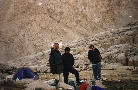
Each of us had his moments of complete fatigue, when the body is ready to call it a day and return home. Fortunately, each of us had this moment at a different time, so the majority always voted to keep going :-)
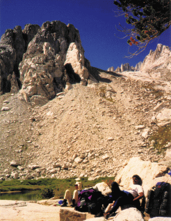
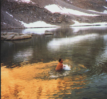
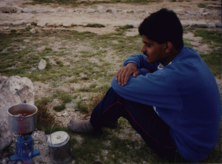
We arrived in Lone Pine early in the morning. Are we really going to climb all the way up there ? Oh well. We spent the first day climbing up to the base camp (at about 13,000 ft). We passed Bighorn Meadow , rested briefly at Mirror Lake , and early in the afternoon we reached Trail Camp (about 4 miles from the peak), where we set up our tents, bathed in nearby Consultation Lake, and waited and waited for food to cook. (It eventually did.)
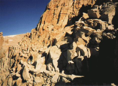
We tackled the remaining distance early the next morning, with some difficulty because of the thin air at this high altitude. Even our tiny day-packs seemed to weigh several tons each. We reached Trail Crest around noon -- what a view! (Captured with Torsten's panoramic camera.) The final 2 miles along a rocky trail is the toughest part. But we made it.
We returned to pick up our tents on the way down the mountain, reaching the car in the dark of night, about an hour after sunset.