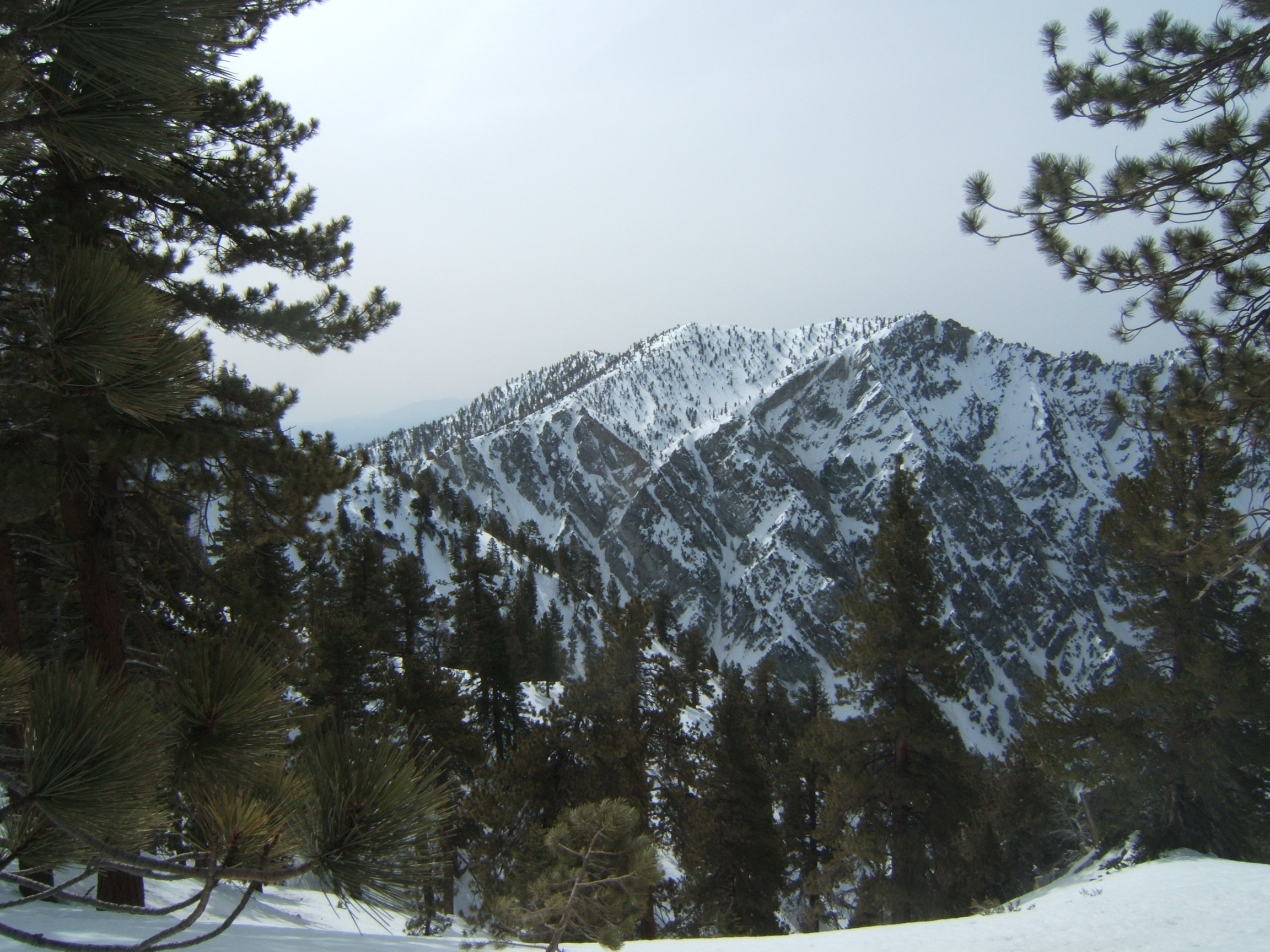
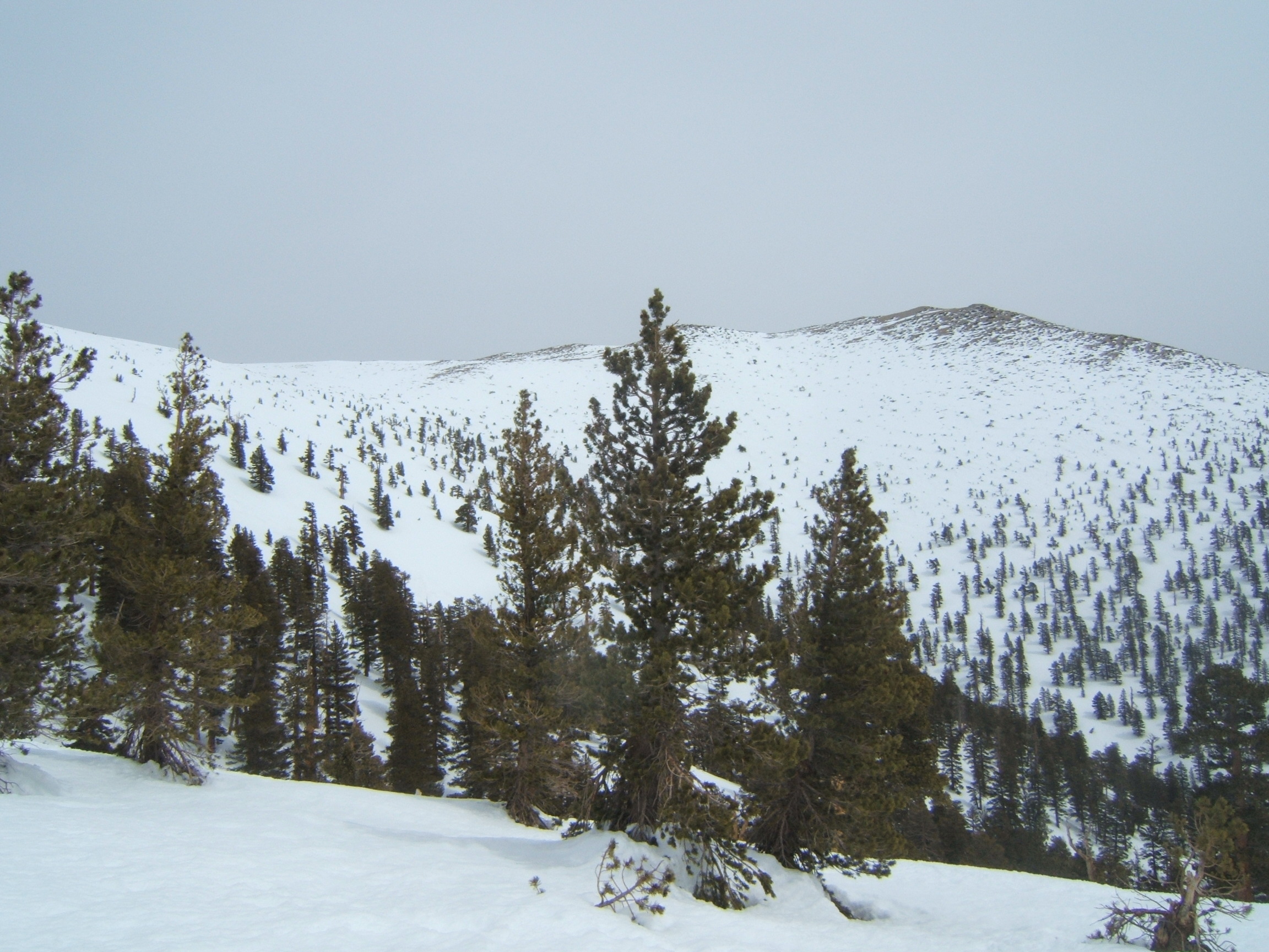
 Youcaipa Ridge
San Gorgonio, 11,499ft, also known as Greyback, is the highest peak in Southern California. It is located in southern part of San Bernardino mountains, within the San Gorgonio Wilderness area. The best view in Southern California. To the south you can see the Joshua Tree National Park, Salton Snea, San Jacinto Mountains and Palm Springs. To the north, you can see Big Bear Lake, Mojave Desert, Cucamonga and Mount Baldy. In good weather, you can see the ocean and Catalina.
The hike. I went solo. And I do mean solo -- the only fauna I run into all day were a pair of bobcats. It was all ice on the way up. I forgot to sharpen my crampons and left my ice axe in the car to save weight, so it was a bit precarious at places and I called myself a lot of bad names. But on the way back it thawed quite a bit on the surface, so the traction was good and the descent was smooth. Still, I carried my snow shoes all the way to the summit and back for nothing. Builds character, as my friend Cliff used to say.
I started at 7:50am from Forest Falls and reached the summit at 1:05pm. I took a standard winter route: followed roughly Vivian Creek trail up to High Creek, except for climbing the ridge above Half-Way Camp, then continued up the High Creek valley to the chute leading to the ridge above High Creek, then to the saddle connecting to SG ridge, and a long wide traverse along the ridge towards the summit.
Youcaipa Ridge
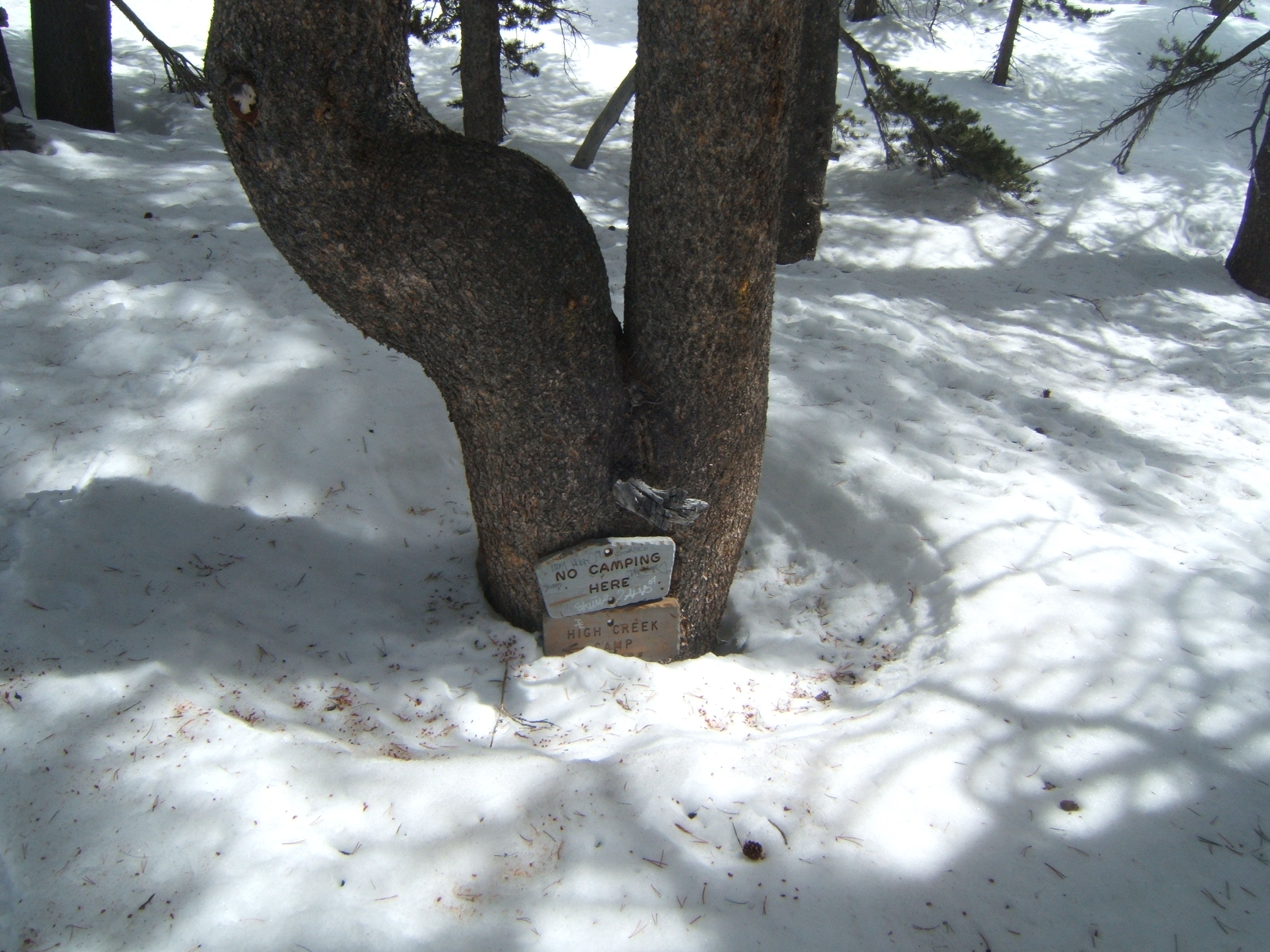 If I remember correctly, I can't reach this sign standing on the ground ...
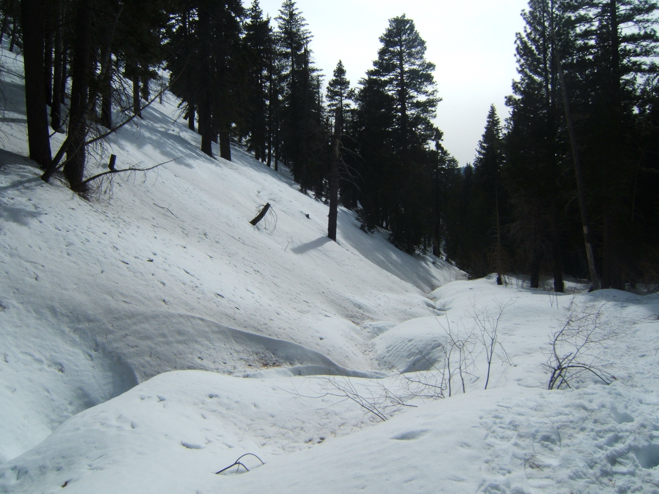
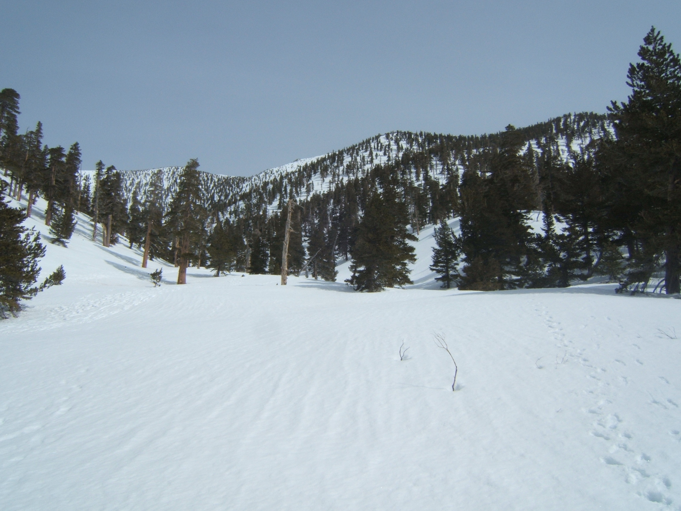 High Creek, facing north-east. The ridge leading to the summit in the center. The snow must be 6-7ft deep. This area is actually covered with tall bushes. Only a few branches sticking out from the snow.
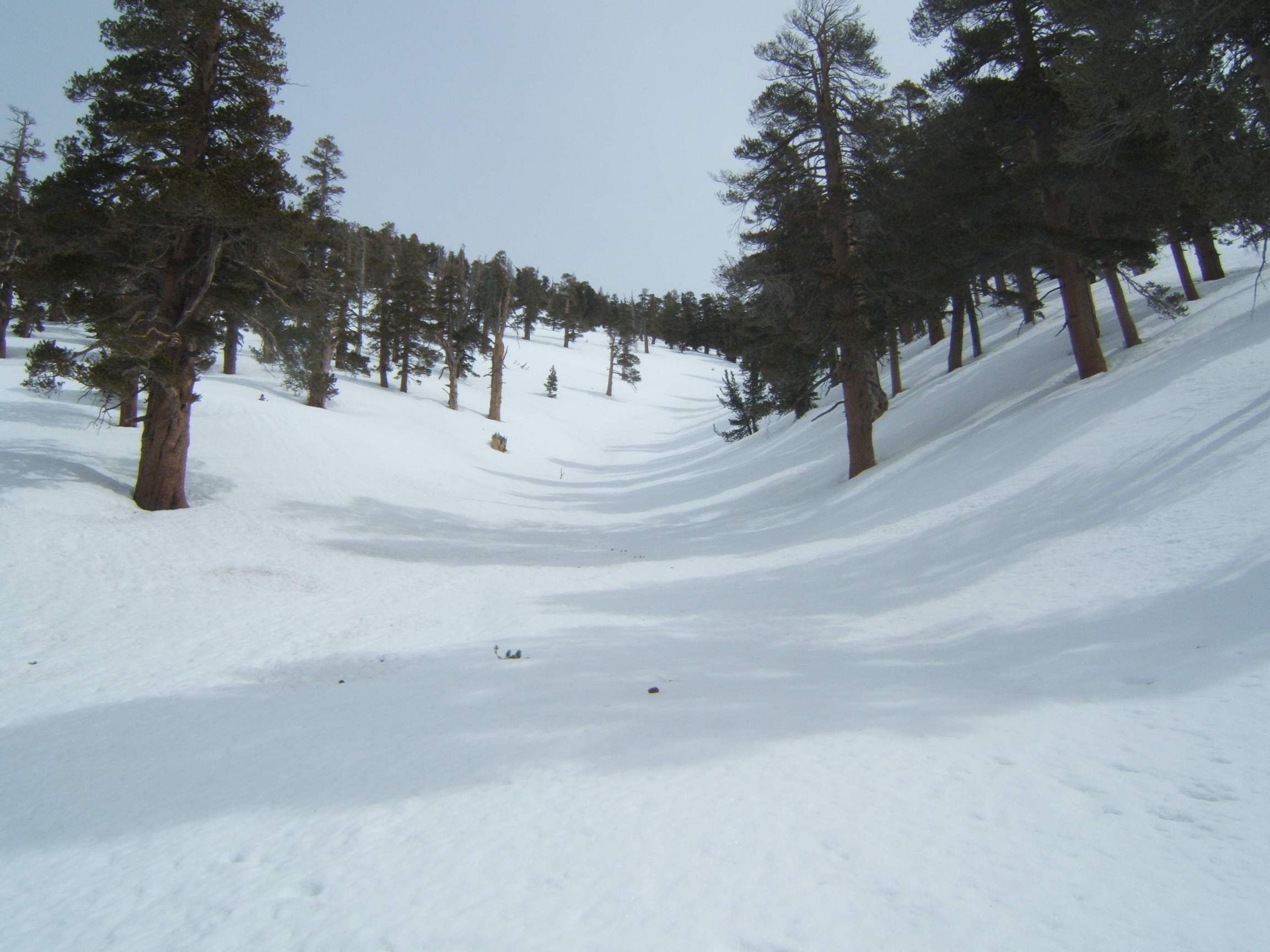 I call this the chute of hell.
 San Gorgonio peak. Almost there.
 I found heaven. The 9 peaks, minus San Gorgonio behind me.
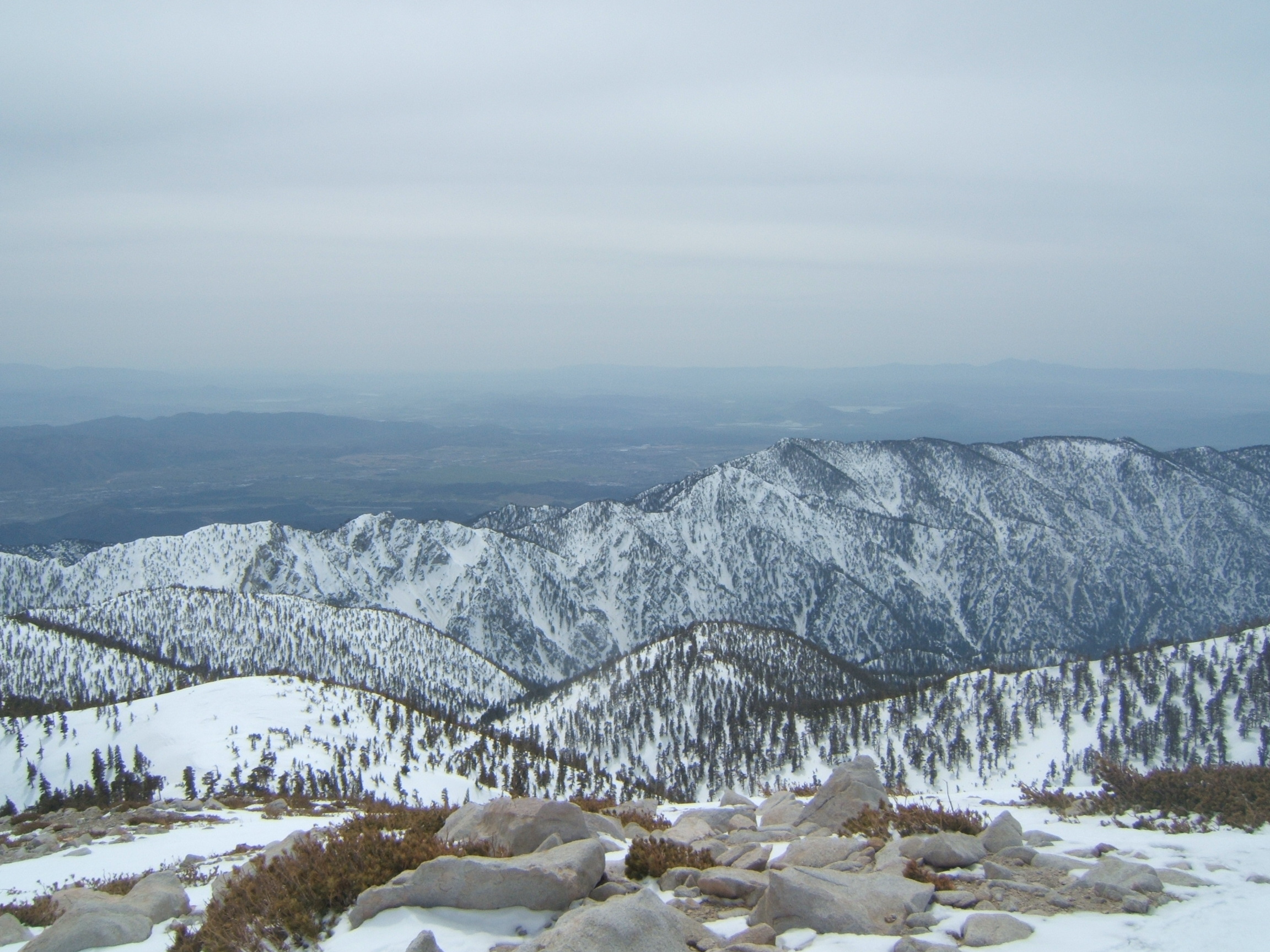
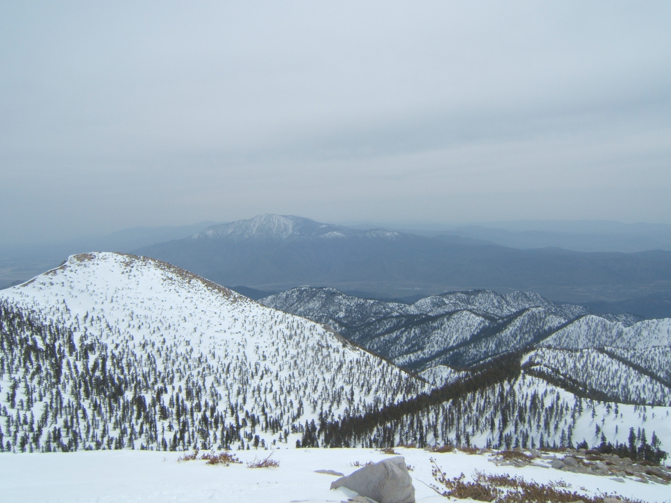 Far on the horizon, San Jacinto. The mountain on the left is the peak west of San Gorgonio, and I don't remember its name. Kitching Peak can be seen behind it, along the straight line towards San Jacinto.
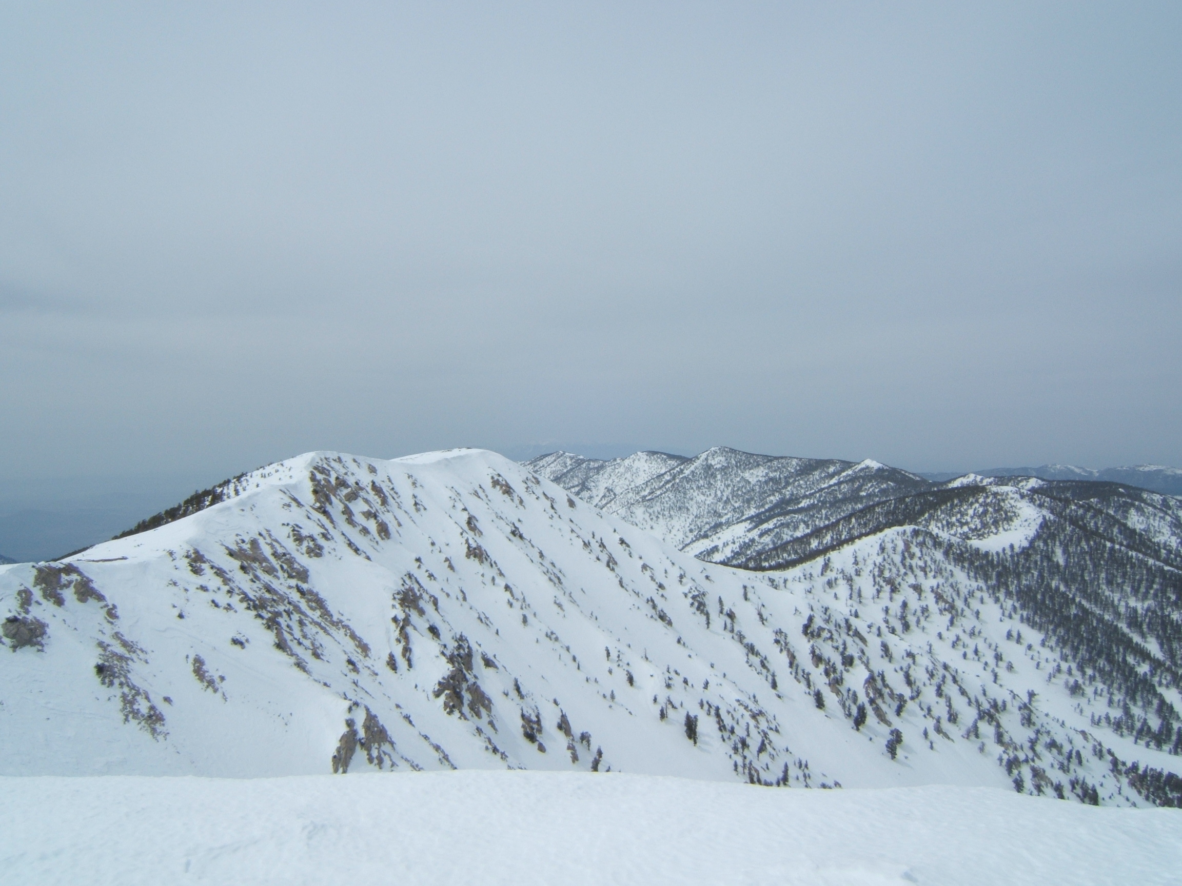
 Youcaipa Ridge again, this time from above.
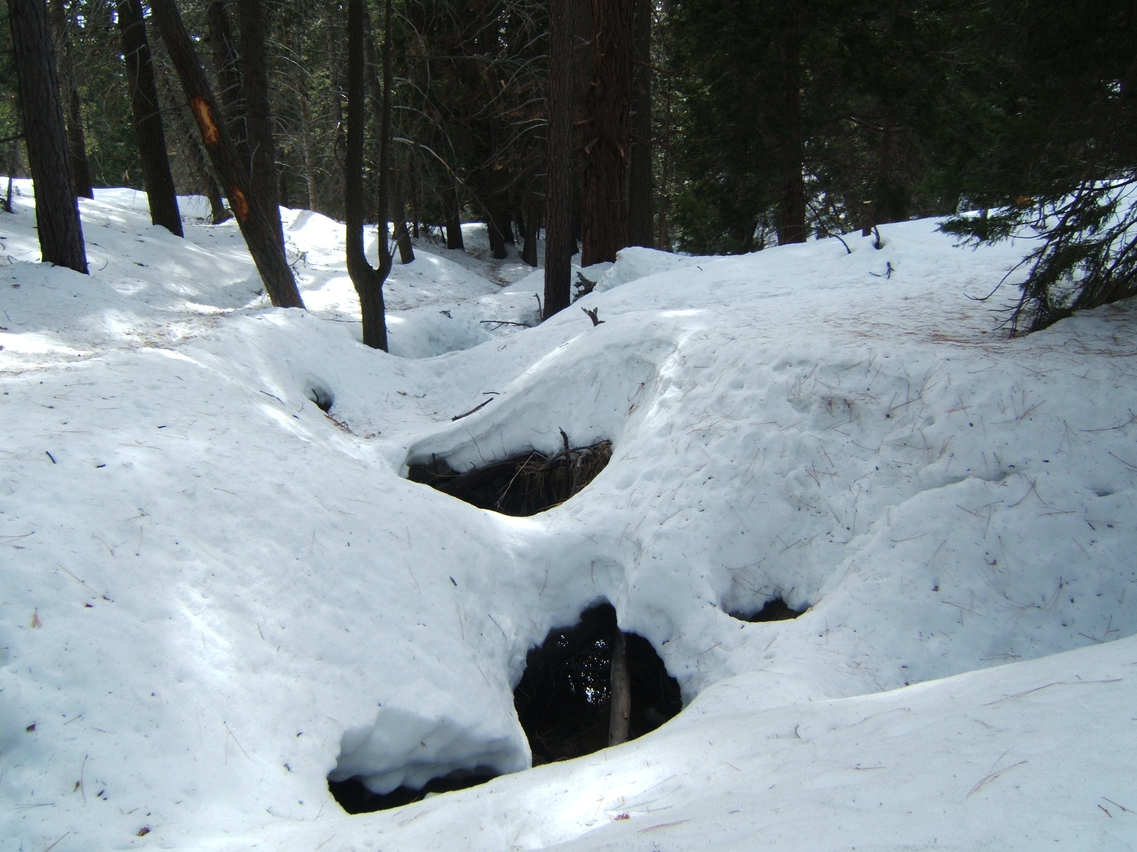
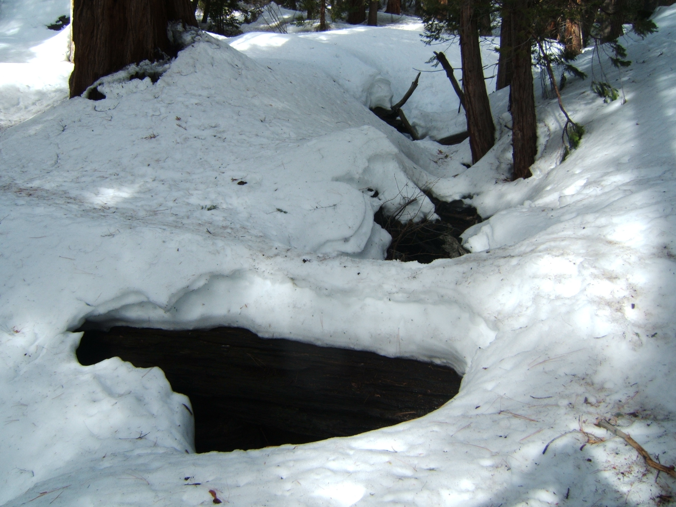
 Vivian Creek, flowing under the snow.
 Vivian Creek. Green shoots, already.
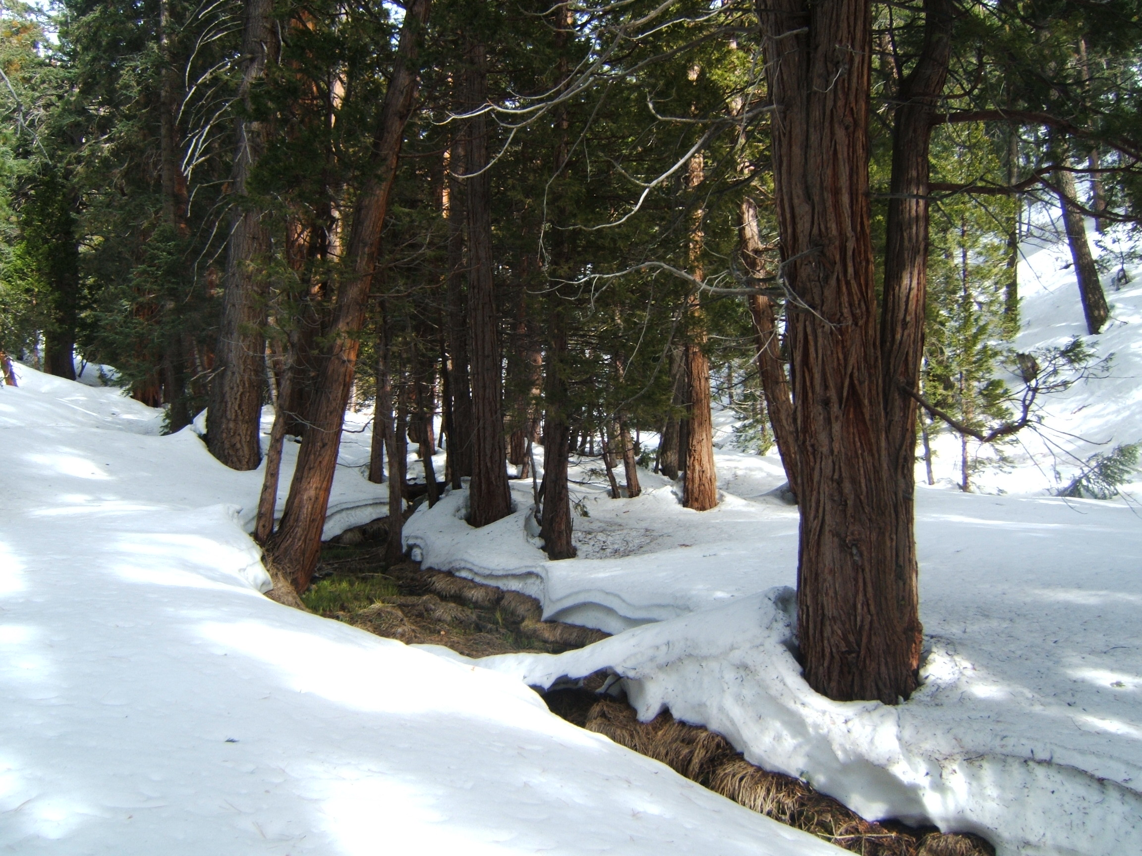
 Vivian Creek.
 The log bridge over Vivian Creek.